Designed over 250 years ago, the architecture of Georgian Limerick, is an integral part of the history of Limerick City.
As the name implies Georgian Limerick was developed during the Georgian era, a period between 1717 and 1830, when the United Kingdom and Ireland were ruled by four successive kings all called George.
At the start of this period Limerick City was contained areas known as Englishtown and Irishtown, both of which were walled in and connected by Baal's Bridge.
In 1760, a call went out to knock the old walls and expand the city. A new bridge was erected over the Abbey River (where Mathew Bridge is today).
Edmund Pery, 1st Viscount Pery, Speaker of the Irish House of Commons, took advantage of the new bridge to develop a section of his property called Prior's Land.

Nine years later, in 1769, Pery hired the Irish engineer Christopher Colles, to lay out a plan for his new town. This plan saw the area divided into plots of equal size that were sold to developers.
After creating this grid layout for Limerick, Colles relocated to New York. There he worked on a number of engineering projects. Interestingly, the famous grid layout of Manhattan was developed in 1811.
Pery gave this development the name Newtown Pery and would go on to call many of the streets after members of his immediate family. These included, William Street, Mallow Street, Glentworth Street, Cecil Street, Hartstonge Street, and Pery Street.
The Arthur family developed the first full block of the Newtown Pery. Again, this family added their names to the streetscape with Arthur's Quay, Francis Street, Patrick Street and Ellen Street.
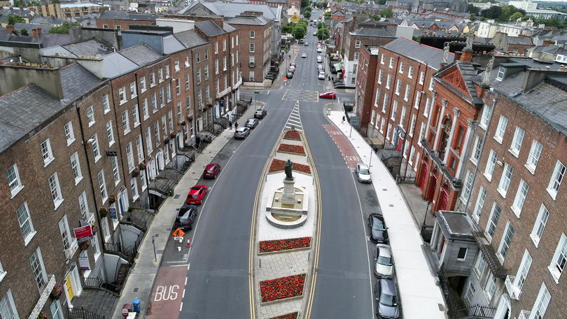
Georgian Limerick contains distinctive architectural styles from the period, including blocks of uniformed red brick buildings, cast iron railings, paneled front doors with ornate door handles and elegant fanlights.


